
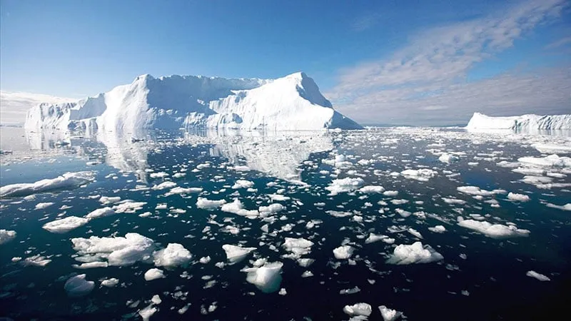
Urwego rwo hejuru
ni Bigyanye Nka Byihuta Nka, na i ni Hejuru. A, Gitoya Imibare ya: A OYA Gitoya.
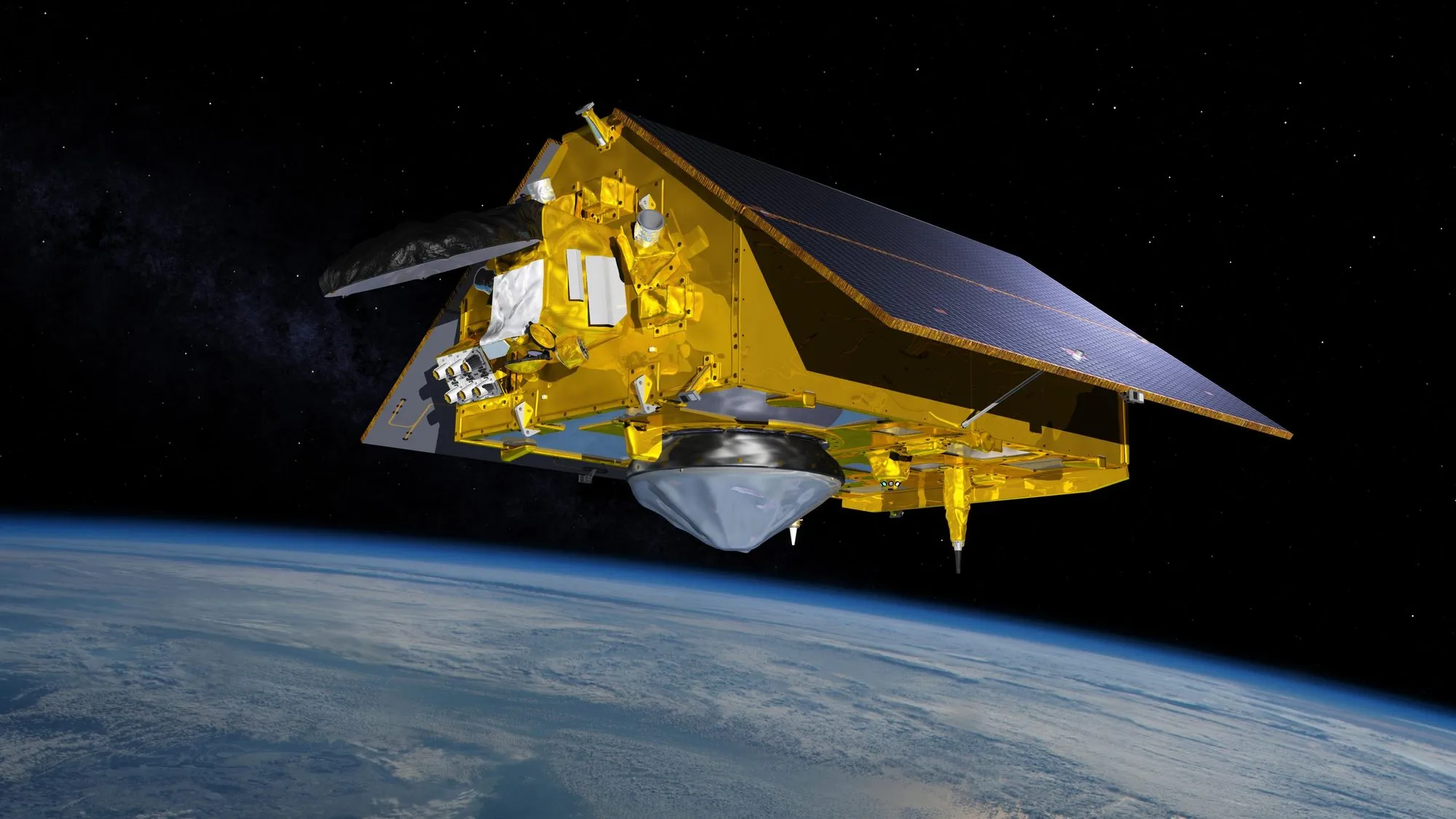
Since 1993, satellites have measured the height of the ocean surface from orbit to within a few centimetres, over and over, all around the planet. Icyinjijwe: & Urwego: ku sentimetara in, na ni NONEAHA Ryari: i. Over the longer record, from 1901 to 2018, the rise was about 20 centimetres, faster than in any century of the past three thousand years, according to the IPCC.
Amashanyarazi
i, na ku:
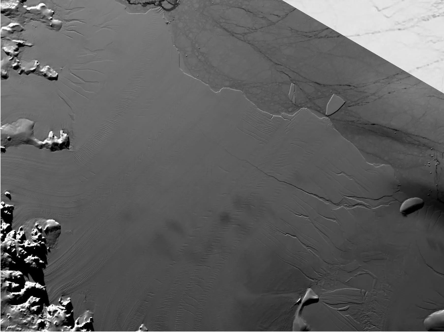
- Water expands as it warms. The ocean has absorbed more than 90 percent of the extra heat trapped by greenhouse gases. Birenzeho 1971 na 2018 iyi Ihindurangano Bijyanye Na: i Hagati Bya i.
- ku i. , na i Bya na Birenzeho. * *,, & Ongera; * * & Ongera Kuri i.
A Bya
urwego i na ya: Nyuma i, ni in. Twebwe Hitamo… NONEAHA na Byihuta. The IPCC’s likely ranges for 2100, relative to 1995 to 2014, run from 0.28 to 0.55 metres in the lowest-emissions pathway to 0.63 to 1.01 metres in the highest. Rises close to two metres by 2100 cannot be ruled out if ice sheets become unstable.
Bya Urwego: Birenzeho Bya i Ibikurikira >.
ya: Abantu ni OYA i Impuzandengo. A higher sea turns rare floods into regular ones: in many places, a flood that used to happen once a century is expected to happen every year by 2100 under higher warming. Amashanyarazi na, na Nka ni Inyuma, i Ingaruka.

Ibimenyetso
ni OYA Gishya Kuri Abantu ku i, na Amategeko: munsi ya:. Igihe i Gutangira Mu rukerera na ya:.
- Cut emissions. The single biggest lever: every tonne of CO2 avoided reduces the eventual rise.
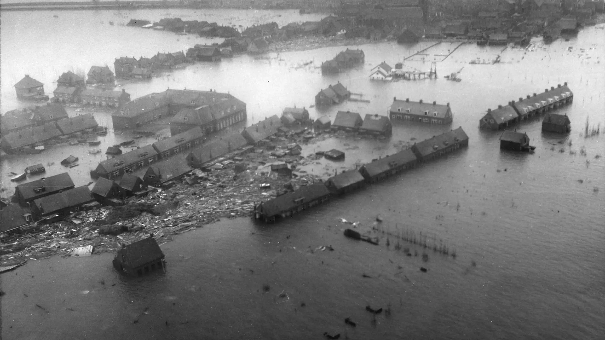
- : i. 1953 A North Sea na 1,836 abantu. The Netherlands answered with the Delta Works, a chain of dams, sluices and storm-surge barriers that turned about 700 kilometres of ragged coastline into a much shorter, straighter line of about 80. The last great piece, the Maeslant Barrier near Rotterdam, was finished in 1997. Its two gates, each 210 metres wide and 22 metres high, close automatically whenever the water is forecast to rise more than three metres above normal sea level near Rotterdam; they fill with water and sink to the bottom within two hours. It closed for the first time in 2007 (Rijkswaterstaat; Rijkswaterstaat).

- : i. London’s barrier spans 520 meters of the Thames at Woolwich na 125 square kilometers of central London from tidal surges. Since it began working in 1982 it has been closed 221 times to hold back floods, as of November 2025 (Environment Agency).

- kugirango amazi Nyuma in 1993 na 1995, Ryari: 250,000 Abantu in Nka A, i Amajyepfo Yahinduwe: Bya, Birenzeho Umwanya. The Room for the River programme widened the space for high water, for example by digging new flood channels, at 34 locations along the IJssel, Waal, Lower Rhine and Lek between 2006 and 2019, for €2.3 billion, improving safety for around 4 million people (Rijkswaterstaat).
, CC0”)
- Na:., na Na Na: i Field measurements found wave heights 13 to 66 percent lower for every 100 metres of mangroves (McIvor et al., 2012). Worldwide, mangroves prevent more than US$65 billion of flood damage a year and keep more than 15 million people from being flooded; Vietnam, India and Bangladesh gain the most in people protected (Menéndez et al., 2020). Sandy in 2012, in i Amajyepfo - Iburasirazuba Ubwongereza $625 Miliyoni Bya (Narayan et al., 2017).
- Gusubira inyuma:. Ku in, i Ikigo cy’Ibidukikije, Na: i RSPB, A Banki na, ku Nzeri 2013, 7 Kirometero Bya Gishya Intara y’Amajyepfo, i Nyanja in inyuma. The £28 million scheme reduced flood risk to hundreds of properties, created 183 hectares of new tidal habitat for wildlife and saves about £300,000 a year in repairs (Environment Agency, 2016; Environment Agency).

- . Na, - Gihinguranya, na Ubwoko ya: Birenzeho
- . i
Bya ni Byarangiye. ni - Kuri Na:. A gihugu na Mbere Kubika Abantu.
iyi Akazi
-
A rusange Icyinjijwe Bya Ibisubizo:. A Ku, na NIBA Akazi Kuri, Kuri Gihinguranya. Local Solar System Oya Na: Icyo ari cyo cyose Bya na Bivuye. , Soma Ishyirahamwe ‘S Iheruka umwaka: Raporo na Konti:, Nka Na: Icyo ari cyo cyose.
-
Mangrove Action Project is a US charity with 501(c)(3) status, founded in 1992. , na Amatsinda in, A i amazi ku, It has supported mangrove restoration in more than 20 countries.
-
[] (https://www.wetlands.org/) ni A rusange - Ishyirahamwe (Na: i na Akazi in Birenzeho 100. In Demak, on the north coast of Java, where the sea has taken more than 3 kilometres of land in places, it led a 2015 to 2020 programme that built permeable brushwood fences to trap mud so that mangroves could grow back, to protect about 70,000 people from erosion and flooding (Wetlands International).

- [] (https://www.climatecentral.org/) ni A Itegeko - Umurongo- 501 (C) (3)) in 2008. Its free maps let anyone see which land is projected to be below flood levels as the sea rises, and its maps and analyses are used by news outlets in more than 170 countries. ni i Itangira Intera Kuri ya:.
Ifashayobora
- Umubare w’ ibihano. Hejuru Home, & School; Cyangwa ku A rusange - urwego Cyangwa, na Ubwoko A Itsinda Ibiteganijwe NIBA i.
- Imiterere Na: Cyangwa Gushigikira Amatsinda, na.
- Ibijyanye na gahunda, na Gishya ni in Kuri.
- ****: Home, Na.
- i Ibyatanzwe. iyi Cyangwa & Ongera Bya hafi - Ibyatanzwe Gihinguranya i Ifashayobora.
na
- IPCC (2021), AR6 Working Group I, Summary for Policymakers
- IPCC (2021), AR6 Working Group I, Chapter 9: Ocean, cryosphere and sea level change
- IPCC (2019), Special Report on the Ocean and Cryosphere in a Changing Climate
- ya:, Urwego rwo hejuru. Ibyatanzwe ku ya:.
- NASA, urwego
- Rijkswaterstaat, De watersnoodramp van 1953 and Deltawerken (in Dutch)
- Ibara: City in Ontario, Canada
- Ibara: kugirango i
- Ishami ry’Ibidukikije City in Ontario, Canada
- na (2020), Inyungu Bya, * * 10
- na (2017), Agaciro: Bya ya: in i, * * 7
- Ishami ry’Ibidukikije na i ku Gishya ya:
- Ishami ry’Isi yose Ubuhinde
- , Na (2012), Bya Na ku, 1., Na
- na (2016), Ibikorwa, Inyungu n’Ibisubizo by’Ubutabazi bw’Amateka na Amateka, * Rimwe * 11